Arriving in a foreign city can be disorienting and confusing. Especially if you are tired from traveling, or feeling a bit frustrated, it helps a lot to feel like you know where you are going. At home, I use Google Maps a lot for directions, but often when traveling, I don’t have access to the Internet. Here are some tried and true ways that I use to find my way when I go somewhere new.
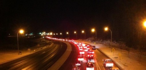 Traffic will be heavier going towards downtown the morning, and away from downtown at night.
Note major landmarks and how far away they are and at what angle (think like a clock face – 1 o’clock, 3 o’clock etc).
Find the highest point in the area (building, mountain, big flag etc) and figure out which direction that is in.
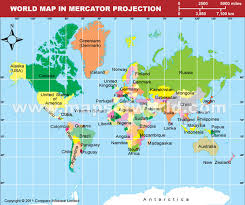
Downtown will almost always be downhill, and in the direction of any major body of water.
Use the sun/stars. In the northern hemisphere, the sun will be in the southern half of the sky, moving from east to west. In the southern hemisphere, it will be in the northern half of the sky, also moving from east to west. If you know it is morning, then the sun will be in the east. At night, look for the big dipper and the North star, or the Southern Cross (as seen below, or on the Australian and New Zealand flags).
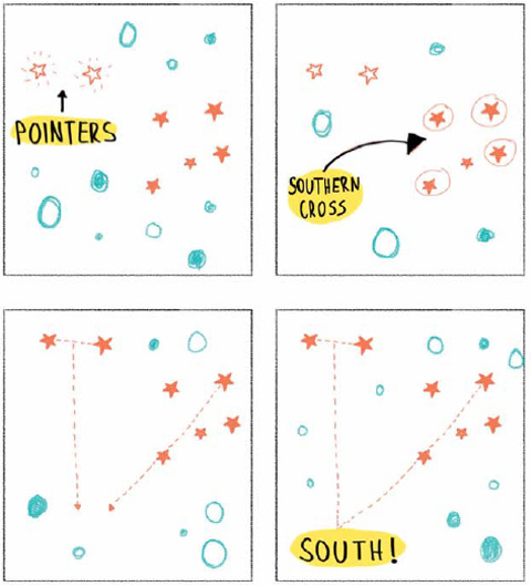
Photo Credit: http://www.aa.co.nz/membership/aa-directions/features/how-to-do-almost-everything/
Ask for directions repeatedly. The first person may not know, or may tell you the wrong way, or you could misunderstand them. Ask multiple times along your route, even when you think you are going the right way. It will save you backtracking later if you are wrong. (Hot tip: Most 4-5 star hotels will have English speaking staff if you need to ask for directions.)
Learn the names of major transportation hubs and gathering places (squares, stadiums, shipping centers etc) in the local language before you arrive, so that you can recognize them on signs, maps, and bus/train stops.
Have someone draw you a map. Drawings tend to translate things well when there are language barriers, and you can use common symbols to indicate things like banks, airports, churches, water, famous buildings or toilets. These hand drawn maps are often some of my favorite souvenirs of a trip.
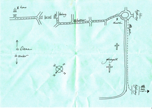
Photo Credit: The Hand Drawn Map Association website
[If you’re interested, you can also hop over to another blog I write for, Communication4Health where I talk about How to Use Map-Making to Spark Discussions.]
Finally, to quote the great J.R.R.Tolkien:
“Not all those who wander are lost.“
I hope these tips help you out next time you are out ‘wandering’. Safe travels!
– Sarah Topps 2013